GPS in construction : Palm Island Dubai - Palm Tree Island Megastructure Construction
When we think about GPS (Global Positioning System), we usually think of mobile devices that are on the dashboard of the vehicle to guide the driver to detect the direction of the recipient. But, GPS in construction is actually more than that. Do you know that GPS were used in constructing the biggest man made island in the world? Yup..Palm Jumeirah, the one that can be seen from space.
Palm Island Dubai @ Palm Jumeirah
How Palm Island was curved?
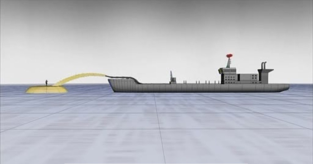
To insure that the island is in it's required place and shape, 676 Km up in the space a Private satellite was used. The shape of island is nearly curved everywhere and it required pin point accuracy to shape it as a palm tree, hence, GPS was used while pouring sand into the sea.
Satellite interaction
Mobile receivers were used as a grid reference for the island and the satellite gave coordinates of the point where sand was to be put. The dredgers would then fill the area of sea which they were commanded by the satellite.
Dredgers fill the area which commanded by satellite


No comments:
Post a Comment